

UAV-UGV fusion method in simulation: what was tested?
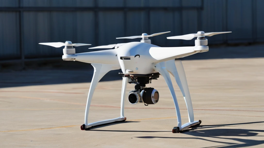
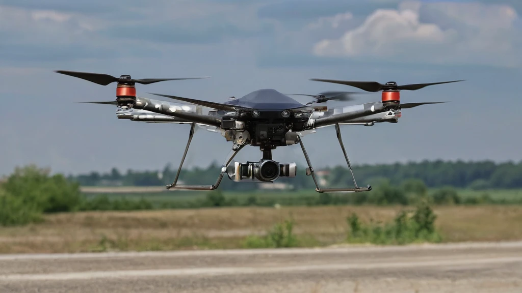
The study, which was accepted at the Latin American Robotics Symposium LARS 2026, focuses on solving the problem of tracking small autonomous ground vehicles from the air in environments without a fixed perceptual infrastructure. The simulation used the ROS~2 and Gazebo Sim environment, and the devices used were a Tello-type drone with an RGB camera and several LIMO-type ground vehicles. A comparison was made of three approaches: a baseline solution based on a color marker without learning, a visual method based on YOLO, and the newly proposed UAV-UGV data fusion method.
A key advantage of the new method is its ability to maintain tracking even during temporary loss of target visibility by the drone's camera. Unlike visual methods, which stop working after the image is blocked, the new method uses data about the state of the ground vehicle - such as position and velocity - to continue estimating the location. This allows for maintaining tracking continuity in scenarios with occlusion, intersecting paths, or changing viewpoints.
Results: significant improvement in accuracy and continuity
 Enlarged imageClose zoomPrevious image
The UAV-UGV data fusion method, based on combining visual detection with UGV state information, reduced localization error compared to the YOLO visual method in four scenarios: tracking a single vehicle, intersecting paths, occlusion, and drone-assisted awareness. These results confirm that integrating data from different sources significantly exceeds the capabilities of stand-alone visual detection.
In addition, the method made it possible to determine the time to conflict awareness - i.e., the amount of time the system has to react before a potential collision. In the intersecting paths scenario, it provided 10.20 seconds of reaction time, and in the drone-assisted awareness scenario - 9.07 seconds. Such support can be crucial for safety systems in dynamic urban or industrial environments where rapid response is essential.
Significance and limitations of the study
The results of the study are significant for the development of monitoring and security systems in environments without a fixed perceptual infrastructure, such as rural areas, construction sites, or disaster zones. UAV-UGV data fusion can be used to support real-time decision-making, e.g., in traffic management systems or terrain patrol by rescue teams. However, the study was conducted exclusively in a simulation environment - there is no data on the performance of this method in real outdoor conditions.
It is also important that the results depend on the accuracy and availability of data from the UGV. If the ground vehicle does not transmit state information with sufficient frequency or with significant delay, the effectiveness of the method may decrease significantly. In addition, the study does not take into account the impact of weather conditions, changes in lighting, or radio interference - factors that can have a major impact on the system's performance in reality. Therefore, the method is promising but requires further testing in the real world.
Prospects for future monitoring systems
The study shows that integrating data from different types of robots - both aerial and ground-based - can significantly improve not only accuracy but also the reliability of tracking systems. In the future, this approach could be used in driver assistance systems, autonomous logistics, or integrated urban monitoring networks. Key will be developing communication between robots and ensuring real-time data synchronization.
Although the study does not concern a specific product or company, its results can be used by robotic technology integrators to design systems that combine different types of devices. In the future, it will be possible to expand this method with machine learning functions or an adaptive approach to dynamically adapt to changing conditions - but this is beyond the scope of the current study, which was conducted in a simulation environment.
In the context of development prospects, the UAV-UGV fusion method can become the foundation for integrated monitoring systems in dynamic environments where traditional solutions based on fixed infrastructure are impossible to implement. For example, in construction zones or disaster areas, where communication networks may be damaged and control points unavailable, such a hybrid tracking strategy can ensure continuous observation without the need for additional base stations. However, it is crucial to ensure stable communication between the drone and the ground vehicle and real-time data synchronization, which requires advanced information transmission protocols.
In the future, this method could be expanded with adaptive functions that will adapt to changing environmental conditions, such as changes in light or radio interference - although this is beyond the scope of the current study. The application of such solutions may be particularly important in driver assistance systems or autonomous logistics, where reliability and speed of response are critical.